Maps and Documents
Maps & Wayfinding
Finding a good route is important when you are trying to get around the region by bike. Fortunately, there are maps, apps, websites, and tools to help you find your way. Listed below are some of our favorite online wayfinding tools and maps. We also have paper copies of many local maps at the WABA office, and we welcome you to stop by during business hours to see what materials are available and take what you need.
Google Maps is one of the best online tools for determining bicycle routes. It combines the standard Google Maps mapping and routing functionality with extensive trail data from Rails to Trails Conservancy, and it has improved greatly over time due to the consistent feedback of bicyclists.
All Capital Bikeshare stations can be found here.
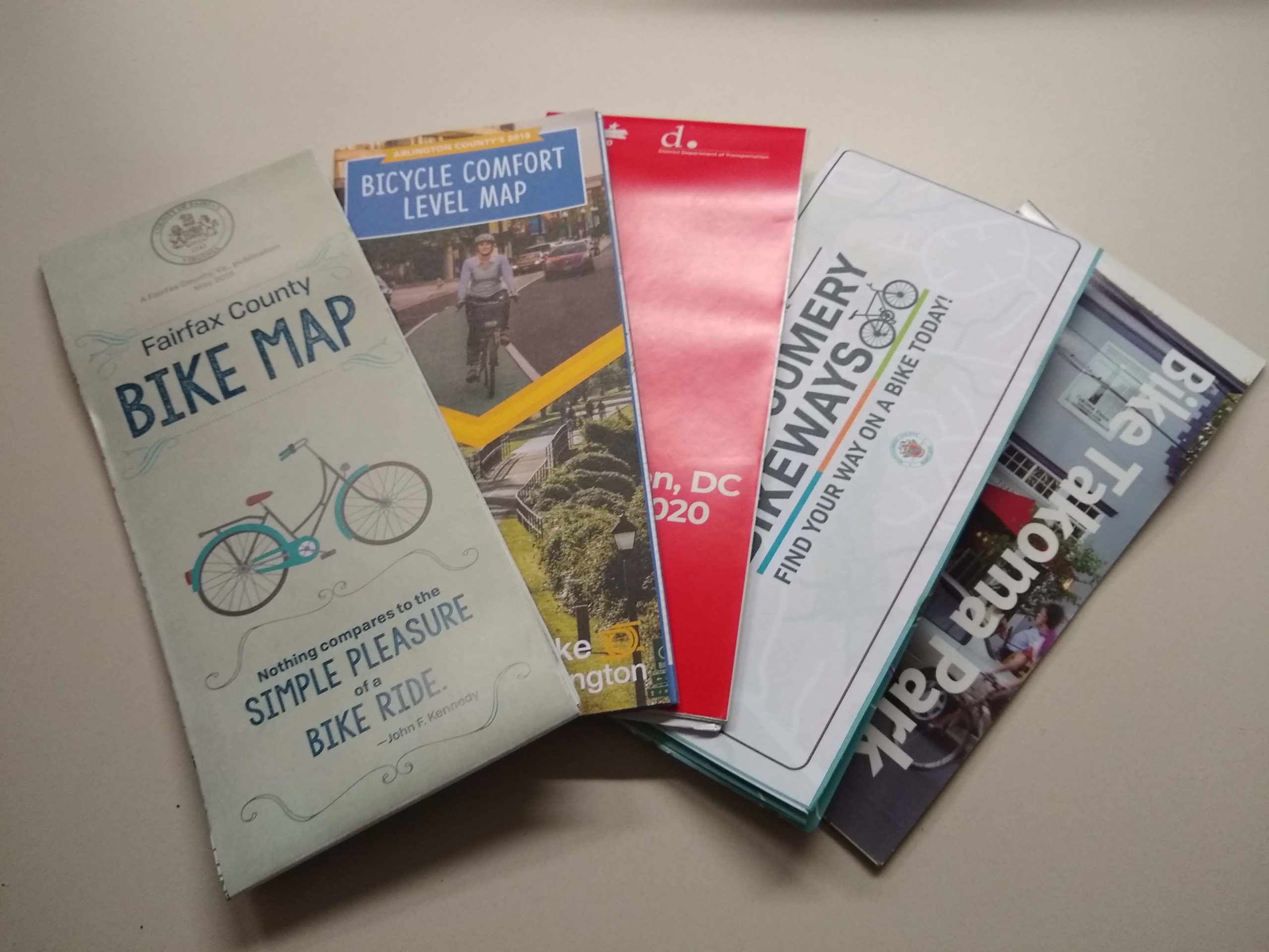
Jurisdictional Maps are available from many governments in the region, including:
State & District Bicycle Maps
- District of Columbia Bike Map
- Maryland Bike Map (and other MDOT-produced bike maps)
- State of Virginia Bike Map
City & County Bicycle Maps
- Arlington County (VA) Bike Map
- City of Alexandria (VA) Bike Map
- Fairfax County (VA) Bike Map
- Montgomery County (MD) Bike Map
- Prince George’s County (MD) Bike Map (2009)
- City of Takoma Park Bike (MD) Map
- City of Rockville (MD) Map
- City of Bethesda (MD) Map
- City of Greenbelt (MD) Map
Additional Trail Maps
WABA Resources for Advocacy & Outreach
- Regional Call to Action. This guide reviews input from cycling stakeholders throughout the region and explains the four key principles–connectivity, safety, usability, and protection–necessary to make bicycling a functional transportation choice for the majority of people who are interested in biking for transportation, but unwilling to do so on our region’s roads as currently constructed.
- Building a Bicycle Friendly Neighborhood: A Guide for Community Leaders. This guide is intended to empower community members and leaders to bring better bicycling for their communities by explaining how bike projects happen, teaching how to communicate the case for biking and bike infrastructure, and briefly explaining the types of bike infrastructure available to our communities.
Regional Bicycle Plans and Planning Documents
- District of Columbia’s 2005 Bicycle Master Plan
- Montgomery County’s 2005 Countywide Bikeways Functional Master Plan
- Prince George’s County’s 2009 Countywide Master Plan of Transportation Bikeways and Trails
- The Bicycle Element of Arlington County’s 2008 Master Transportation Plan
- City of Alexandria’s 2008 Pedestrian and Bicycle Mobility Plan
- Fairfax County Bicycle Master Plan
- MWCOG Transportation Planning Board’s Bicycle and Pedestrian Plan for the National Capital Region
- Maryland Department of Transportation’s 2014 Twenty Year Bicycle & Pedestrian Master Plan
- Virginia Department of Transportation State Bicycle Policy Plan
You must be logged in to post a comment.